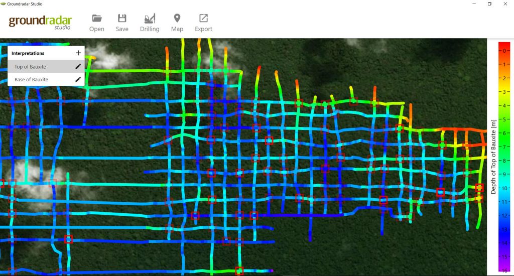
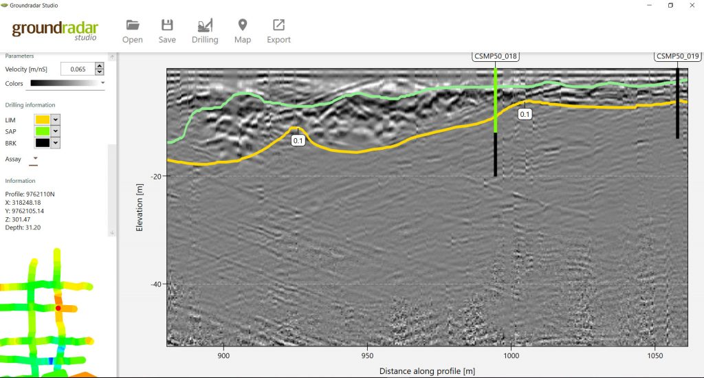
Groundradar has released Groundradar Studio software, which enables users and clients of UltraGPR technology to view and manipulate their data. Radar profiles and interpretations, provided in a encrypted file from Groundradar, can be opened in Studio for viewing. The software allows users to modify, delete and add interpretation. Most importantly, the software allows users to ensure that tie-lines match perfectly using an interpretation mis-match algorithm which highlights where issues occur. Users can also add new interpretations as required. Maps are linked to Google, Bing, Yandex and OSM on-line map sources, showing results overlain satellite images or vector maps.
All interpretations may be exported as ASCII files or DXF surfaces. In addition, the radar data may be exported as point cloud data (Leapfrog), SEGY (Gocad, Surpac, Datamine, etc) and other radar formats. Finally, sections can be created automatically, with scales, inset maps, logos, etc in PDF or BMP format at the click of a button.