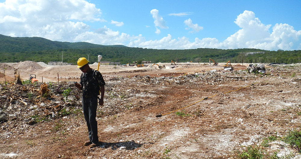
Groundradar’s Jamaican partners have completed a large project over a proposed housing development site to map karstic voids. A large number of voids were detected of various sizes during four days of field work. The resultant void plan maps and 3D models will be used by the developer to strategically place structures to minimise geotechnical risks.