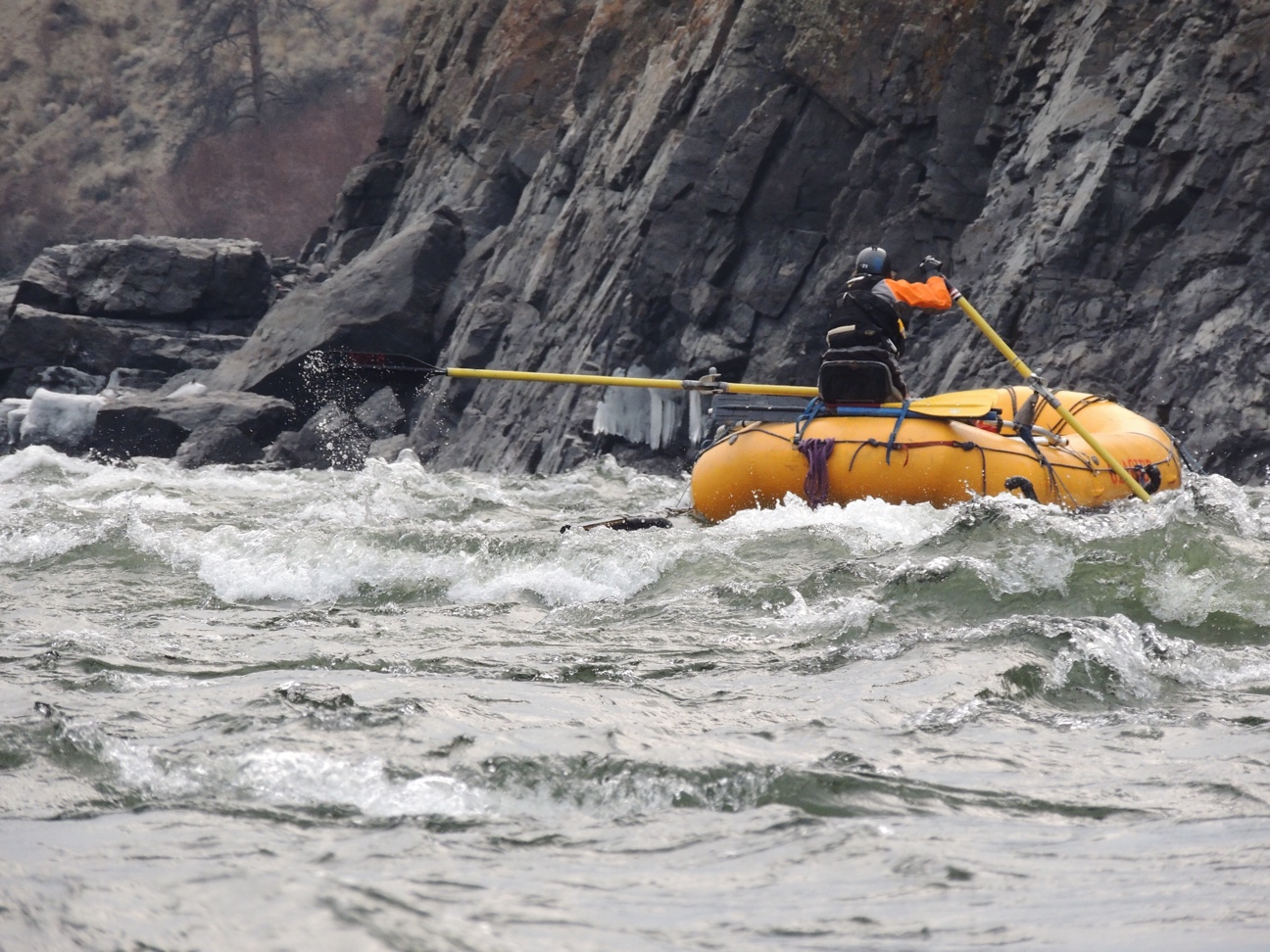
WorleyParsons Geophysics recently employed UltraGPR technology to map the bathymetry and sub-bottom geology of fast-flowing river in the Rock Mountain foothills of Alberta. The survey employed 30 MHz centre-frequency antennas housed in waterproof tubes, and was conducted by Paul Bauman, Chris Slater, Landon Woods and Alastair McClymont