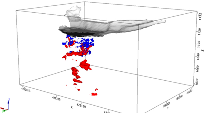
UltraGPR was used to map karstic voids on a steep limestone hillside as part of a geotechnical investigation for mine infrastructure. The site consisted of a small levelled platform at the edge of a steep cliff. Previous surveys by Groundradar in 2013 at the site had demonstrated the ability of UltraGPR to map voids in site’s limestone to 80 m.
Monthly Archive: September 2014
Core Geophysics conducts UltraGPR survey in Gabon
An UltraGPR survey has been conducted in Gabon by Core Geophysics for iron ore exploration. Excellent results were obtained and a larger follow-up survey is planned for later in 2014.